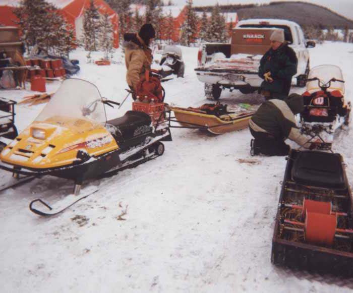
The E-SCAN crew prepares to lay grid wire on cut lines in dense bush, in the Athabasca Basin of Northern Saskatchewan (2001).
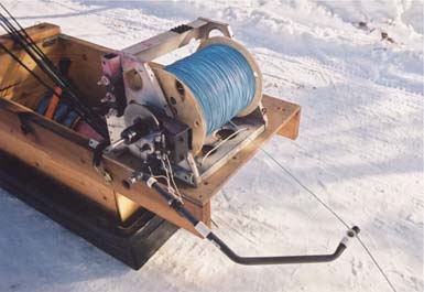
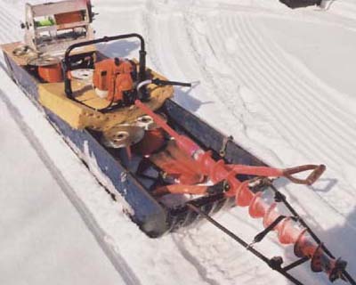
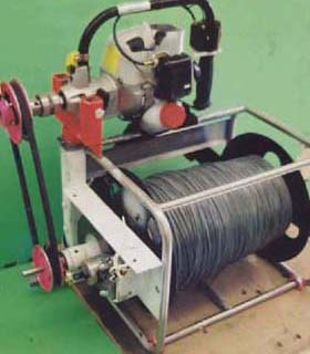
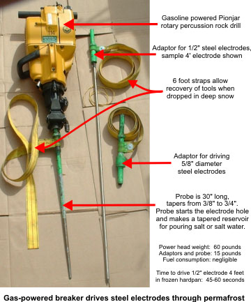
Seen in the distance, a small lake will require winter lake tools to maintain the uniformly spaced grid of survey electrodes across the entire survey area. Projects that are mainly on land can be done in winter or summer. Where there are extensive open-water lake or swamp areas, the decision to operate in summer or in winter will depend upon local conditions and client timing requirements. Both can be done cost-effectively by using the corresponding set of specialized lake survey equipment. Northern lake projects may benefit from using the winter ice as an easily-traveled, stable platform for the 3D E-SCAN survey, using holes drilled in the ice to place lake-bottom electrodes. Where timing doesn't permit waiting for winter, or where a lake will not freeze sufficiently to safely support work crews, different equipment gets the job done on the open water. See "... in any terrain - lakes" in a tab further down the Home Page.
The target in the Athabasca Basin is deep unconformity uranium, here estimated at about 500 metres below surface.
Anomalies are conductive features in a resistive host, an ideal geophysical target setting whose interpretation here is routinely
compromised (for non-3D methods) by irregular, alternating conductive-resistive (swamp-esker) surface conditions.